Mapping an Atlantic World
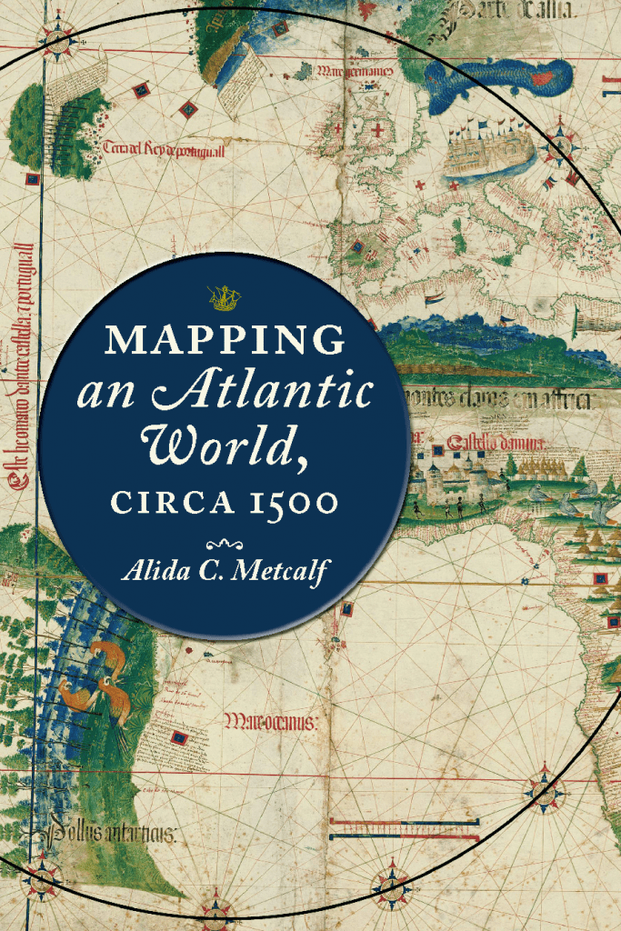
Beginning in 1500, the Atlantic Ocean moved from the periphery to the center on European world maps. This moment marks not only a paradigm shift in how the world was mapped but also the opening of what historians call the Atlantic World.
This companion website invites readers to focus on the charts, maps, and figures that underlie the book’s arguments.
Navigate through the website by using the column on the left.
