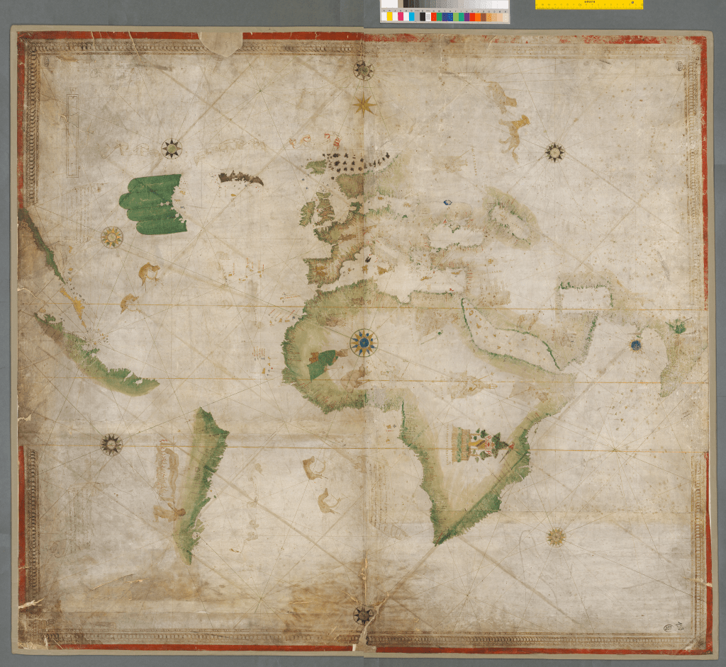
12. Portolan (Weltkarte), 1502-6
Cod.icon. 133, Bayerische Staatsbibliothek, Munich.
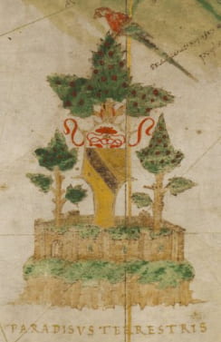
This world chart shows the first known scene of cannibalism in the Western Atlantic on any map. The chartmaker remains anonymous, but Amerigo Vespucci is one of several conceivable authors. The chart was created for—or subsequently owned by—Cardinal Bernardino Lopez de Carvajal, whose crest appears as part of the Garden of Eden, which appears over South Africa (see below). Carvajal, formerly bishop of Cartagena (in Spain) was made cardinal in 1493 and served Ferdinand and Isabella in Rome.
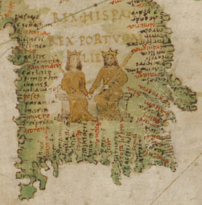
The scene of cannibalism is prominent and violent, and read in context with the rest of the map, it conveys a message about evangelism and colonialism. On the map, the kings of Spain and Portugal sit on their thrones, hands entwined, and gaze across the Atlantic Ocean. And what do they see?
The world chart presents them a newly discovered land where cannibalism is taking place. In Africa, Europe, and Asia kings rule, but in this new land, there are no kings sitting on thrones. The legend proclaims that there are no laws. Seen from this perspective, the message of the world chart is clear. The kings of Spain and Portugal must claim this land and civilize it. Given Carvajal’s crest on the map, it is entirely possible that the world chart was in Rome and was seen by other high church officials, including the pope. Such a map could be used to underscore arguments made that the enslavement of indigenous peoples was necessary and thereby justified. To consult the chart in the Bavarian State Library, click here.


