Fig. 1.2. Pillars of Hercules at the Entrance to the Atlantic
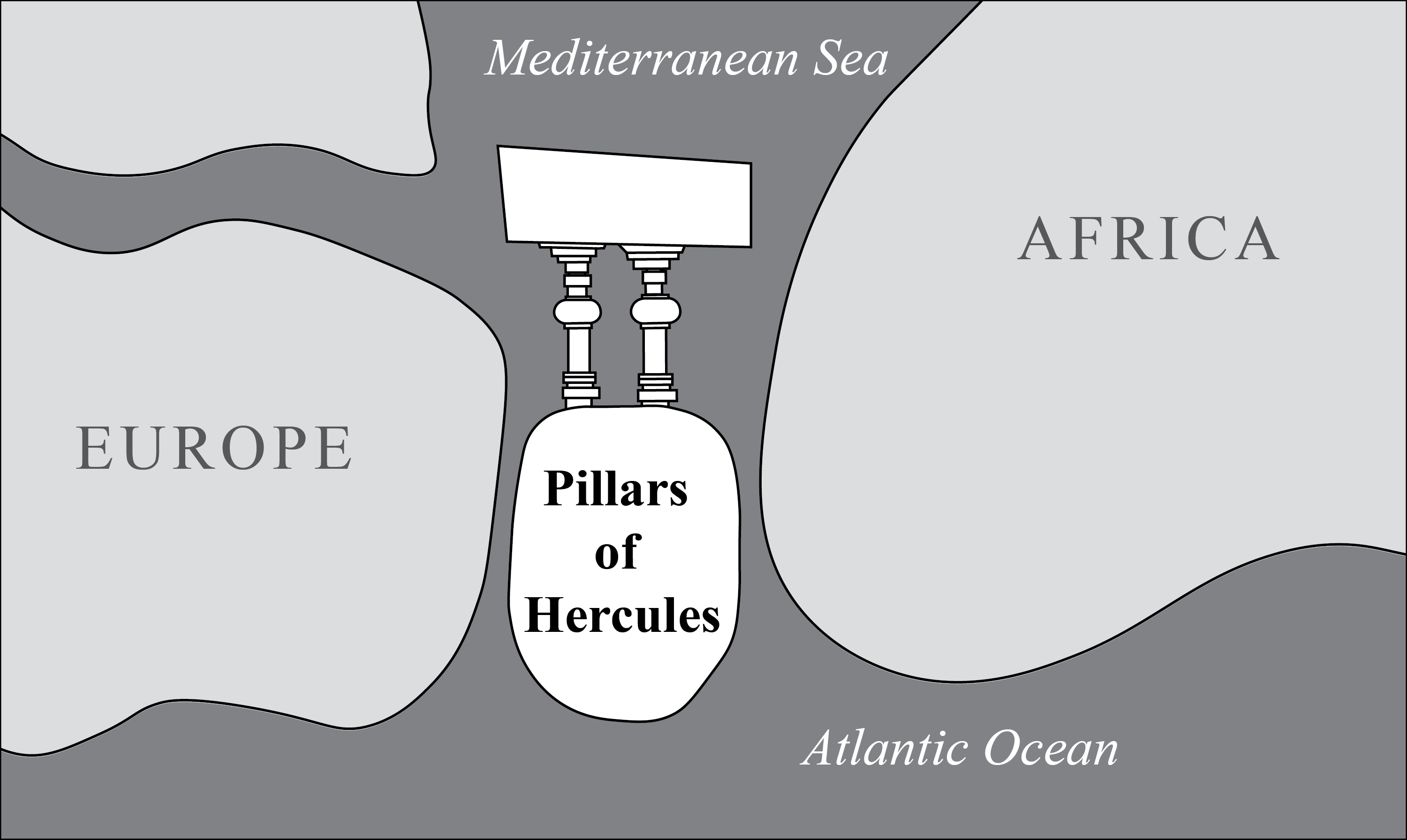
Redrawn from the Hereford Mappa Mundi, ca. 1300.
The Strait of Gibraltar is the famous narrow passage between the Atlantic Ocean and the Mediterranean Sea. According to Greek legend, when Hercules smashed through a mountain, he created the strait and two promontories on each side—Calpé on the northern and Abyla on the southern—which became known as the pillars (or columns) of Hercules. The pillars often appeared on maps and served as a metaphorical marking of the boundary between the known world of the Mediterranean and the unknown world of the Atlantic. This figure shows the Pillars of Hercules on the Hereford Mappa Mundi. As the map is oriented with East at the top, the place where the Mediterranean meets the Atlantic is at the bottom. The pillars and the island of Gades are traced from a digital facsimile in order to show how the mapmaker (Richard of Holdingham) drew them.