Fig. 1.3. The Atlantic on a Medieval World Chart
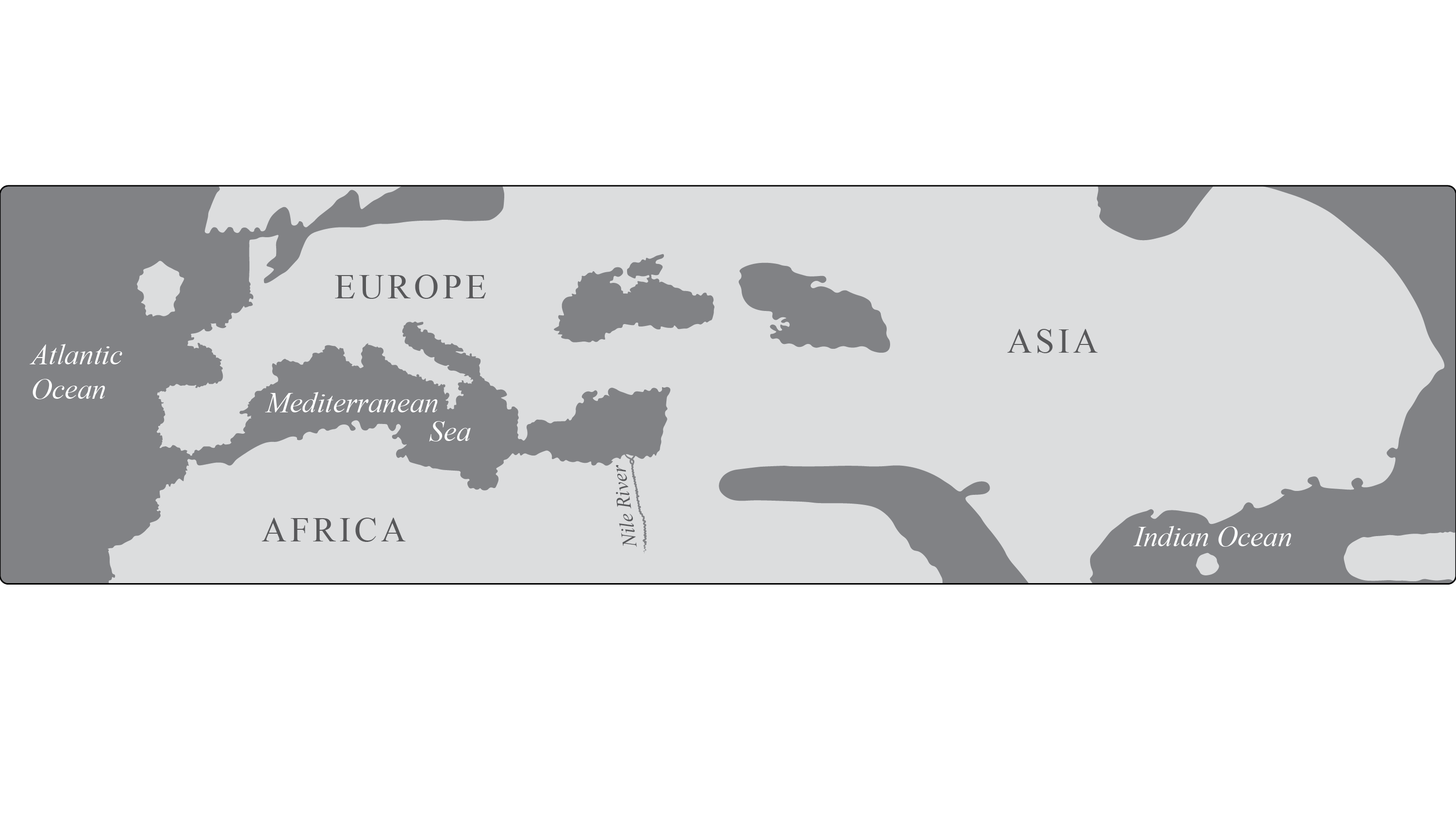
Redrawn from [Cresques], Atlas de cartes marines, 1375.
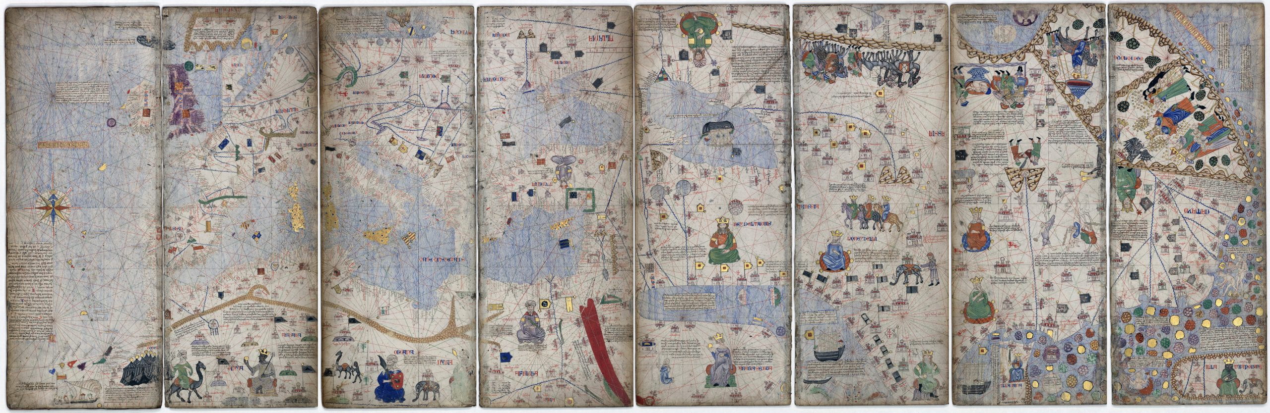
On this world chart the Atlantic is not a thin channel of water as on T-O mappaemundi; rather it is a significant body of water. Dated 1375, it combines knowledge commonly found on charts, such as the coastlines of the Mediterranean Sea and the eastern Atlantic Ocean, with the classical knowledge, religious beliefs, and the accounts of travelers. The presumed maker of the highly illuminated chart is Abraham Cresques, known to have been a master compass and chartmaker in the Kingdom of Aragón. This world chart presents the world on twelve richly painted panels that form a rectangular shape. The Atlantic takes up all of one and part of a second panel. Still, it does not have a unique name; instead the chartmaker gave a generic Latin name: “Mare Ocheaenum” (Ocean Sea).
Figure 1.3 shows the extent of the Atlantic on the chart by tracing all coastlines and several other prominent features–such as the Nile River–from a digital facsimile of the original twelve panels of the Atlas de cartes marines, see below. The original Atlas de cartes marines resides in the Bibliothèque nationale de France.
 Wikimedia Commons.