Fig. 2.4. Johannes Ruysch, Universalior cogniti orbis tabula ex recentibus confecta observationibus
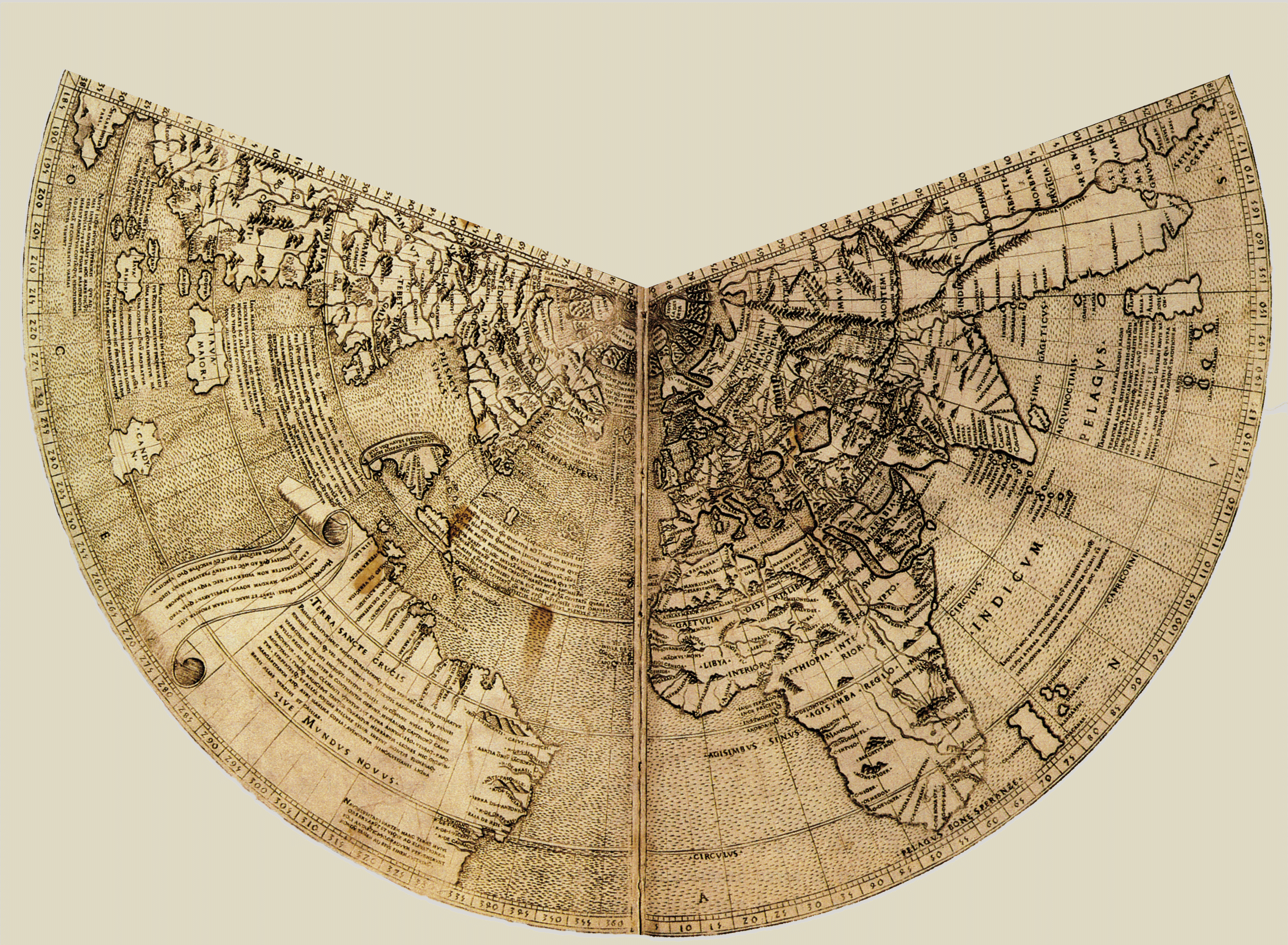
In Ptolemy, Geographia. Rome: 1508. John Carter Brown Library, Brown University.
The Atlantic appears front and center on this world map created by Johannes Ruysch for an edition of Ptolemy’s Geography, printed in Rome in 1508. Ruysch used an equidistant conic projection and chose to place the Atlantic Ocean at the center of the world map. This figure is slightly trimmed from a digital copy of Ruysch’s original world map held at the John Carter Brown Library of Brown University, titled Universalior cogniti orbis tabula ex recentibus confecta observationibus.