Figure 4.3. Mountains on Waldseemüller’s Universalis Cosmographia
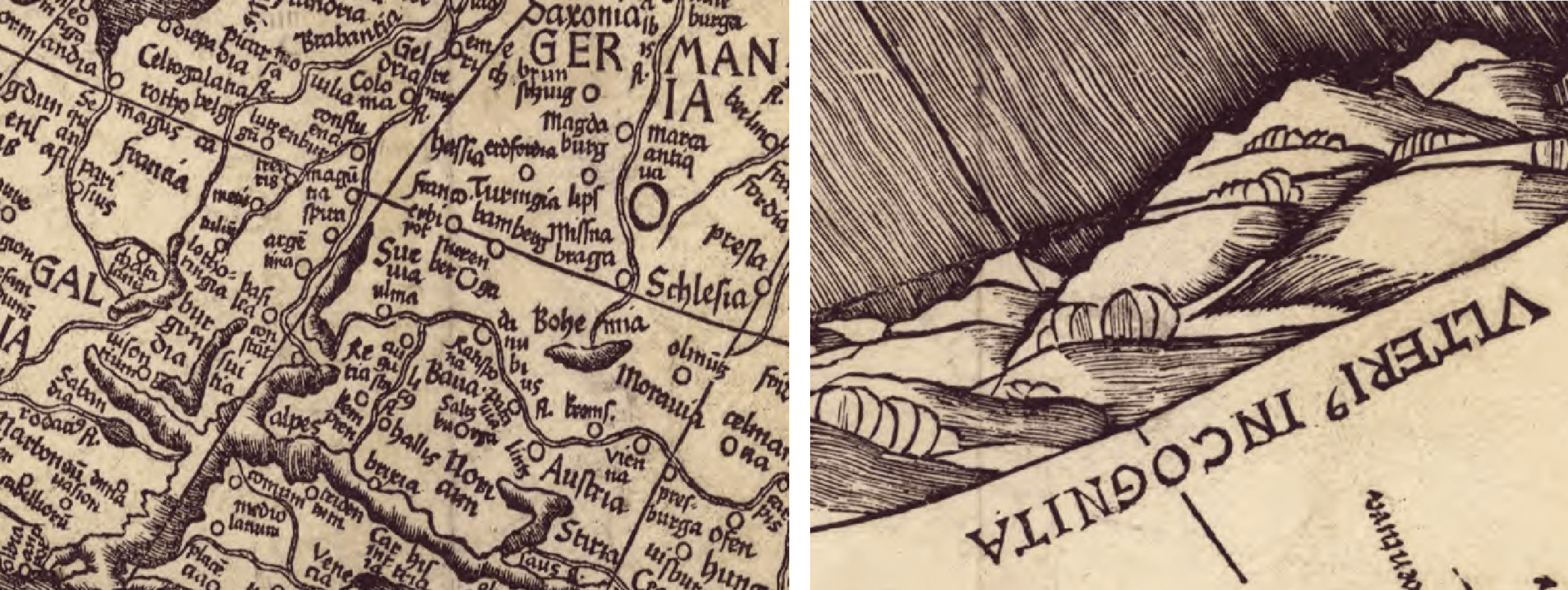
Details from Martin Waldseemüller, Universalis Cosmographia, 1507, Geography and Map Division, Library of Congress, Washington, DC.
Waldseemüller’s large world map was printed from twelve woodblocks, and we can assume the woodcutter (or the designer) modified some parts of Waldseemüller’s original map in order to easily cut the blocks. Mountains are symbolized in two distinct ways on the map, illustrating the hand of the artisans who worked on it. In Europe, Asia, and Africa, the mountains are designated by a thick line that defines the form of the range, while short, thinner lines drawn next to each other suggest height (see above, left). The mountains in the Americas, on the other hand, are presented more abstractly (see above, right). Possibly another designer and woodcutter worked on this section of the map, or perhaps the greater space offered by the largely blank (and unknown) continents presented the designer and woodcutter with the opportunity to experiment with new forms.