Ptolemy’s Geographia
The Greek text of Ptolemy’s Geography appeared in Florence in 1397, and it was translated into Latin in the first decade of the fifteenth century. Ptolemy’s Geōgraphikē became Geographia or Cosmographia in Latin and many editions–first manuscript then print–appeared during the Renaissance. Nicolò Germano created an illuminated manuscript version of Ptolemy’s Geography for Borso d’ Este, see Cosmografia courtesy of the Estense Digital Library, Biblioteca Estense Universitaria, Modena. Printed editions circulated more widely. This printed edition of Ptolemy’s Geography (Cosmographia, Ulm: 1486), courtesy of Stanford University, provides access to all of the maps, beginning with the world map and including all 26 regional maps originally described by Ptolemy (as well as several additional maps).
How does the Atlantic appear in Ptolemy’s Geography? As noted above in the discussion of fig. 1.6, Nicolò Germano presents it as a periphery, and as is clear in Plate 3, the Atlantic, called the Western Ocean, has very few labels. The Ulm edition printed in 1486 by Johann Reger has more information. Its mappamundi is signed “Jnsculptum est per Johannẽ. Schnitzer de Armszheim” (engraved by Johannes Schnitzer, woodcutter from Armszheim). On it, the western ocean is labeled Occeanus occidentalis, but the mapmaker adds the label Athlanticum off the coast of West Africa.
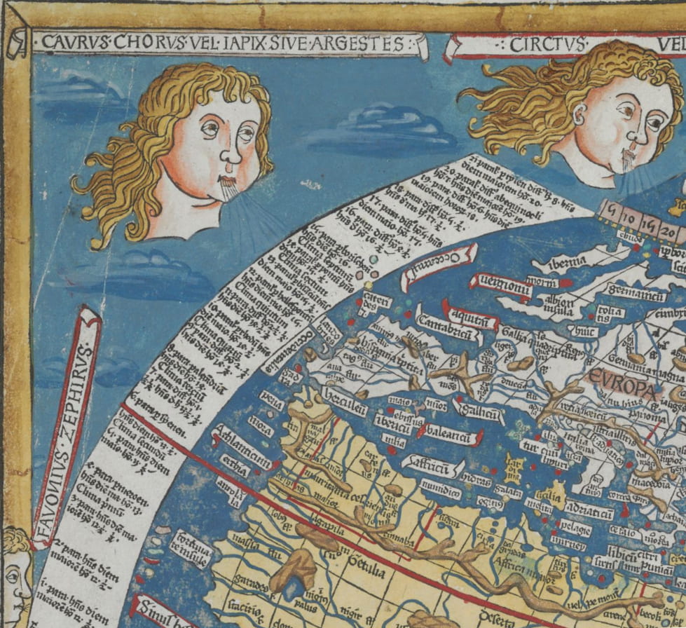
Johannes Schnitzer, Mappamundi, in Ptolemy, Cosmographia, Ulm: 1486, courtesy of Stanford University.
On the regional map of Africa (Quarta Affrice Tabula), the Athlanticum label does not reappear, and the ocean off the coast of West Africa is clearly labeled the Oceanus Occidentalis (Western Ocean).
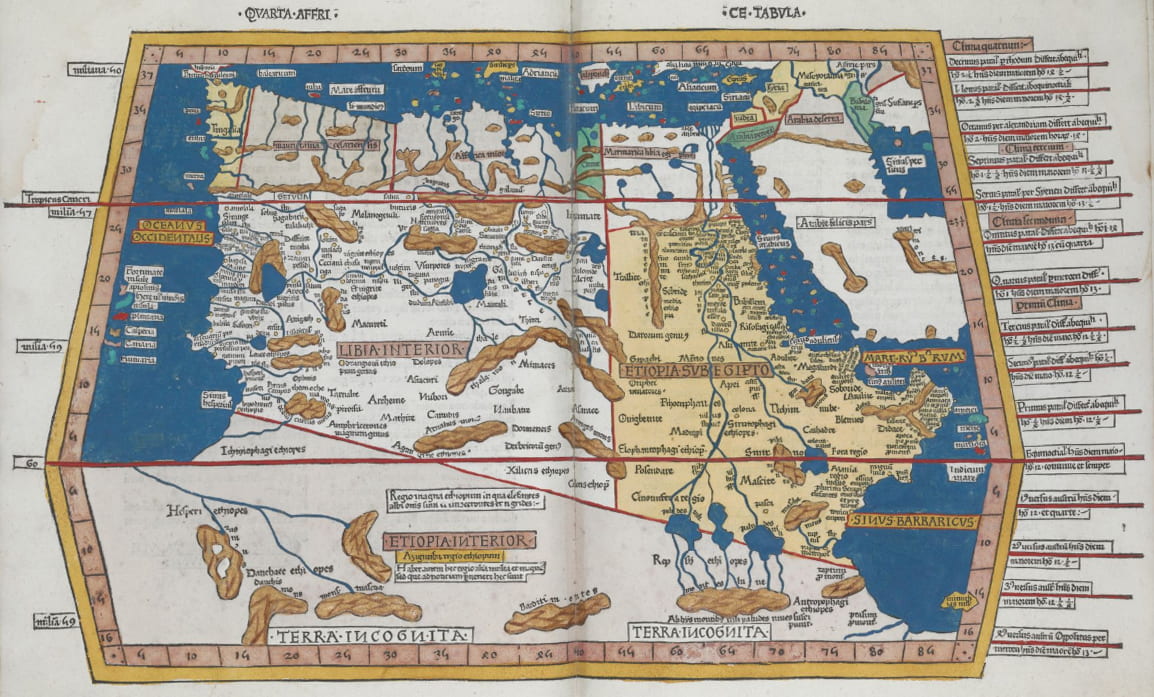
Johannes Schnitzer, Quarta Affrice Tabula, in Ptolemy, Cosmographia, Ulm: 1486, courtesy of Stanford University.
The regional maps of Europe, such as those that show Britain, France, and Spain, continue to use the Western Ocean label. An even more generic label Mare Exterius (Exterior Sea) appears on the Secunda Europe Tabula, see below. However, note that a specific name is given to the Bay of Biscay, which is labeled Occeanus Cantabricus (Cantabrian Sea).
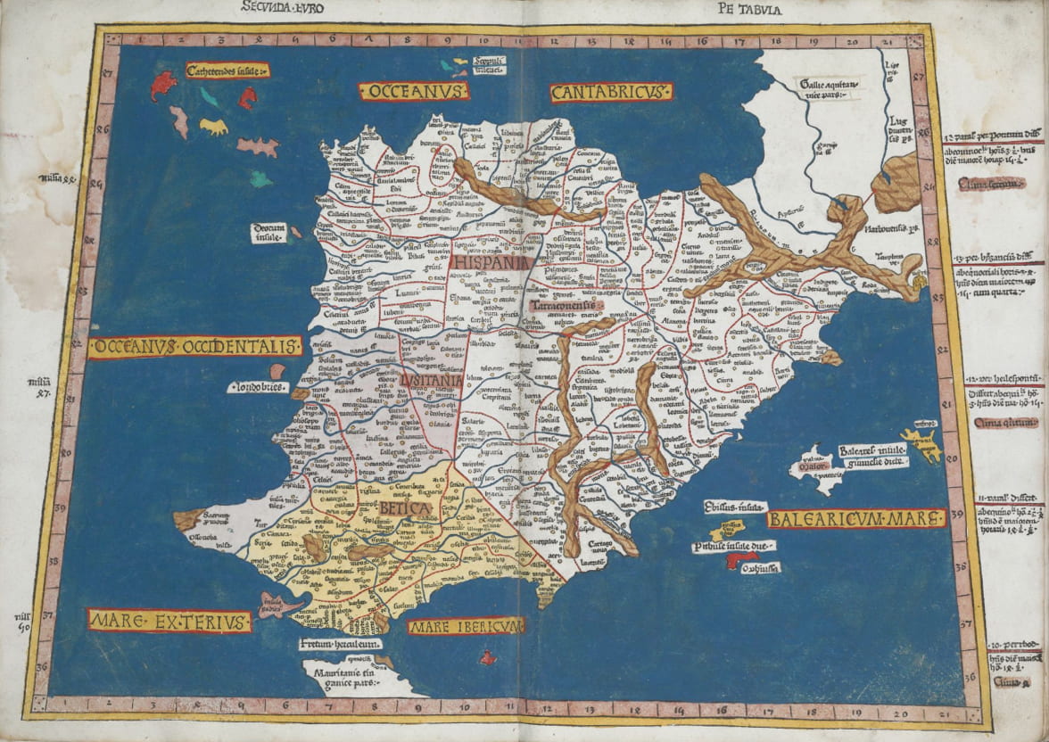
Johannes Schnitzer, Segunda Europe Tabula, in Ptolemy, Cosmographia, Ulm: 1486, courtesy of Stanford University.